CR55
| CCC Camp Road |
Power Line Cuts |
Old Flagg Trailhead |
Clearings Around Cabins |
Pinhoti Trail Northbound |
Weogufka Creek |
|---|
|
Tower / Pinhoti Parking |
|---|
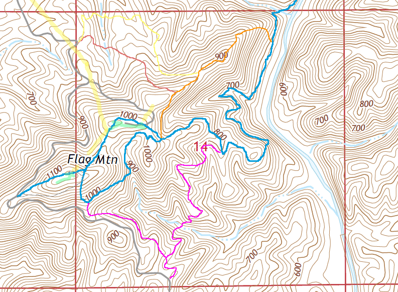
| Flagg Mountain Trail System |
Old Pinhoti Terminus |
Weogufka Creek |
|---|
This page discusses facilities located along the Pinhoti Trail between the Picnic Pavilion Pinhoti Terminus and the Trailhead south of Weogufka. At the south end, the Picnic Pavilion, Register Podium, and signage at the first Y in the trail are discussed on the Picnic Pavilion Page. The remainder of the Flagg Mountain Trail System, The Cabin and Tower Areas, the Northwest Flagg Trailhead, and the road walk to the Terrapin Hills Section are discussed elsewhere.
| Below: Flagg Mountain Trail System | ||||||||
|---|---|---|---|---|---|---|---|---|
| ↖ To CR55 |
|
|||||||
|

| |||||||
|
||||||||
| Above: Flagg Mountain Trail System | ||||||||
|
This page discusses facilities located along the Pinhoti Trail between the Picnic Pavilion Pinhoti Terminus and the Trailhead south of Weogufka. At the south end, the Picnic Pavilion, Register Podium, and signage at the first Y in the trail are discussed on the Picnic Pavilion Page. The remainder of the Flagg Mountain Trail System, The Cabin and Tower Areas, the Northwest Flagg Trailhead, and the road walk to the Terrapin Hills Section are discussed elsewhere. |
|
Some John Calhoun Reports:
Monday, Nov. 3rd
Nov.4, 2014
Thursday Nov. 6, 2014 |
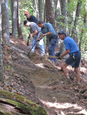
Hunt, Kent, Edwin, Durwin
November 4, 2014
Photo by John Calhoun
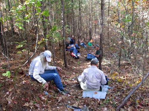
Trailbuilders
Monday, November 7, 2016
Photo by John Calhoun
 Post. Aluminum tag stamped with large 33, but worn by wildlife. Photo taken by Dan Bedore 30 March 2020. 32.976304°N, -86.346879°W |
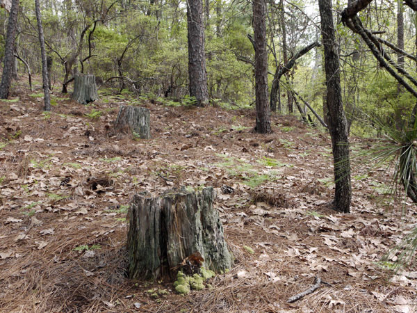 3 Large Old Stumps Photo taken by Dan Bedore 30 March 2020. |
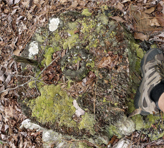 Large Stump and ~1' Boot for Comparison Photo taken by Dan Bedore 30 March 2020. |
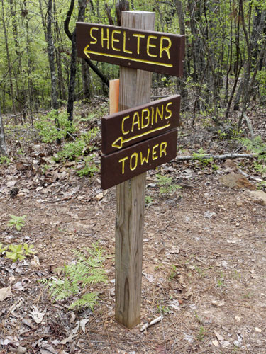 Signage at Ridge Road Intersection Photo taken by Dan Bedore 30 March 2020. 32.979002°N, -86.344997°W |
| The intersection of the purple and blue trails at the center of section 14 on the map above. The blue trail is on an old ridge road which continues south to views and camping spots. This is where the Flagg Tower Terminus and the Picnic Pavilion Terminus routes join and form an uncontested Pinhoti Trail. |
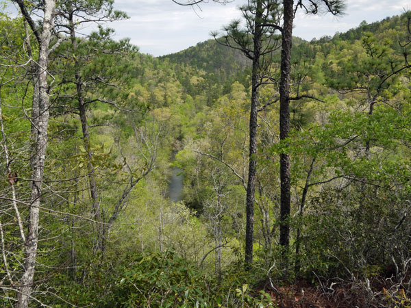 A View of Weogufka Creek Canyon Photo taken by Dan Bedore 30 March 2020. 32.979900°N, -86.342012°W |
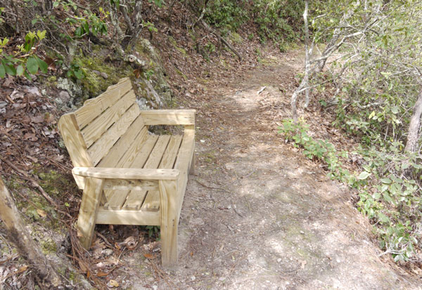 A Bench at A View of Weogufka Creek Canyon Photo taken by Dan Bedore 30 March 2020. 32.979900°N, -86.342012°W |
|
CCC Stone Trail Cribbing Descending from the above benches into the canyon in which on the map above the 700' contour is labeled, the side hill trail is cribbed with stones, probably by the CCC crew building the beach portion of the State Park at Flagg Mountain. I remember Kent C telling me about exploring the Pinhoti route which seemed most likely from the map, and being thrilled to find that the CCC people had agreed with him on routing and actually built that section of trail! |
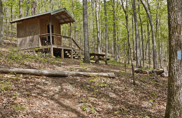 Weogufka Creek Shelter Photo taken by Dan Bedore 30 March 2020. 32.984151°N, -86.341863°W |
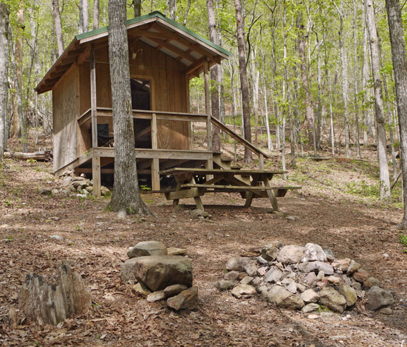 Weogufka Creek Shelter Photo taken by Dan Bedore 30 March 2020. 32.984151°N, -86.341863°W |
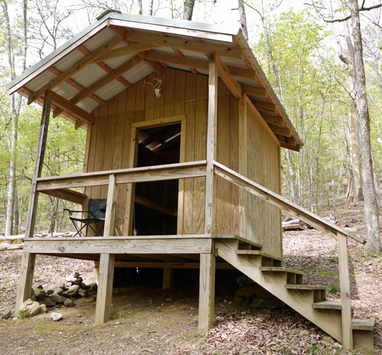 Weogufka Creek Shelter Photo taken by Dan Bedore 30 March 2020. 32.984151°N, -86.341863°W |
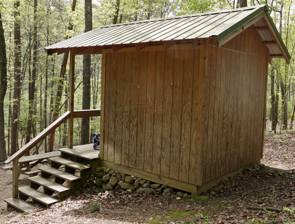 Weogufka Creek Shelter Photo taken by Dan Bedore 30 March 2020. 32.984151°N, -86.341863°W |
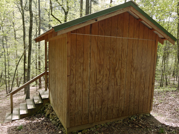 Weogufka Creek Shelter Photo taken by Dan Bedore 30 March 2020. 32.984151°N, -86.341863°W |
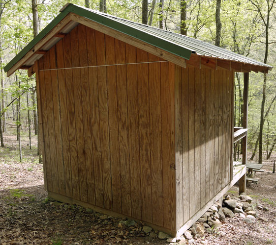 Weogufka Creek Shelter Photo taken by Dan Bedore 30 March 2020. 32.984151°N, -86.341863°W |
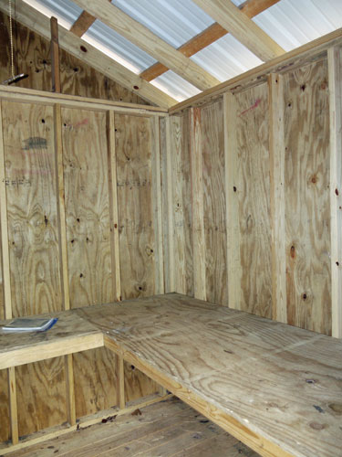 Weogufka Creek Shelter Photo taken by Dan Bedore 30 March 2020. 32.984151°N, -86.341863°W |
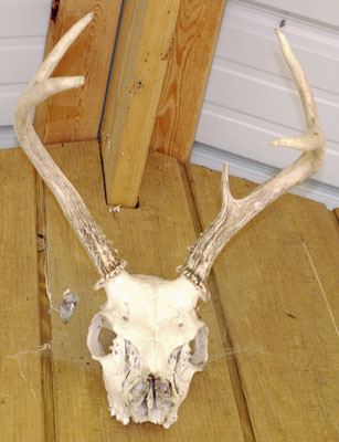 Weogufka Creek Shelter Photo taken by Dan Bedore 30 March 2020. 32.984151°N, -86.341863°W |
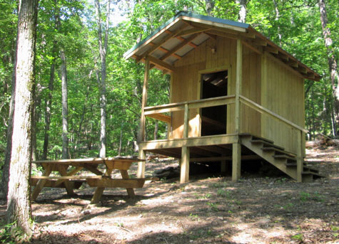
Weogufka Creek Shelter
Friday, May 27, 2016,
Photo by John Calhoun
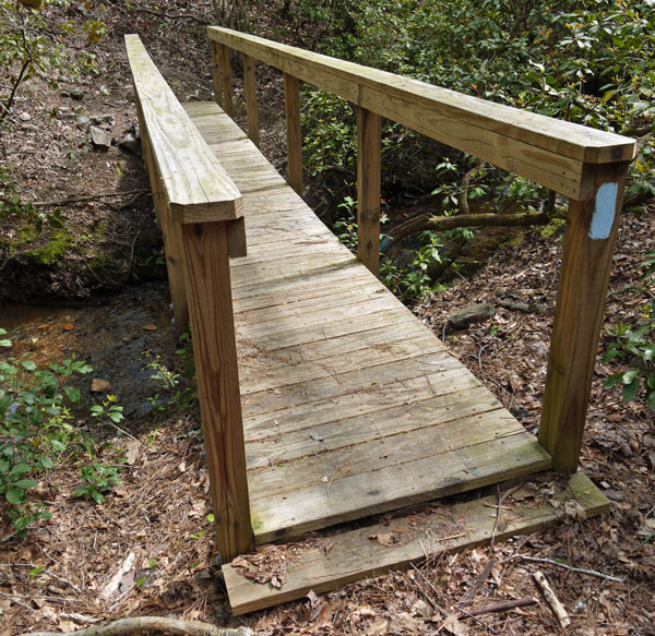 Bridge Northbound of Weogufka Creek Shelter Photo taken by Dan Bedore 30 March 2020. 32.986628°N, -86.340989°W |
32.990065°N, -86.340879° Y with a White Blazed Trail.
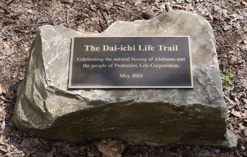 Dai-ichi Plaque Photo taken by Dan Bedore 30 March 2020. 32.991805°N, -86.336908°W |
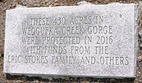 Eric Stoke Family Stele Photo taken by Dan Bedore 30 March 2020. 32.992365°N, -86.336420°W |
32.994301°N, -86.334193°N, T with Ridge Road
32.996446°N, -86.330190°N, T with 38
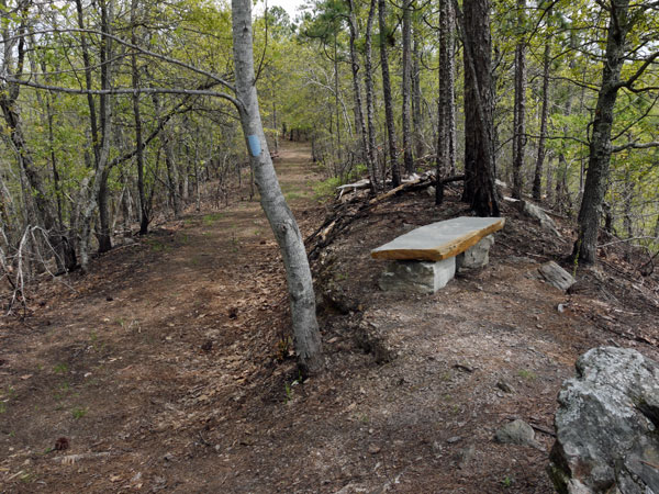 Stone Bench along Pinhoti Photo taken by Dan Bedore 30 March 2020. |
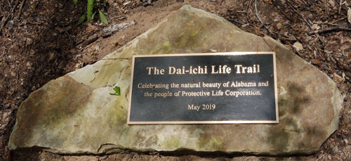 Dai-ichi Plaque Photo taken by Dan Bedore 30 March 2020. 2.997912°N, -86.326071°W |
 Paint Bleeding from Blaze Photo taken by Dan Bedore 30 March 2020. |
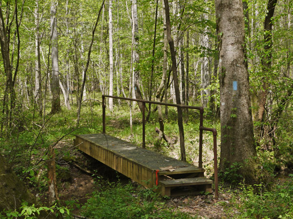 Finikochica Creek Bridge Photo taken by Dan Bedore 30 March 2020. 33.008507°N, -86.327963°W |
33.015040°N, -86.326409°W: Pinhoti T intersection with County Road 56.