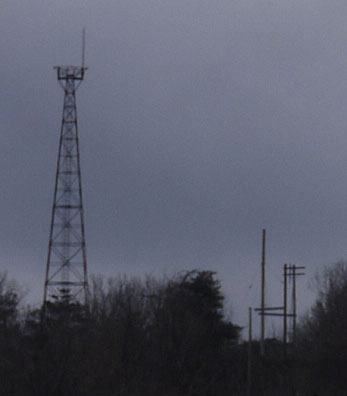
Telecom Tower on 2200' Peak west of Leaf Gate
Photo taken by Dan Bedore 28 March 2020 From Cheaha Restaurant.
33.472675°N, -85.811013°W
|
This page discusses the facilities in the Cheaha Wilderness and the southern part of Cheaha State Park, Adams Gap to the Leaf Gate Trailhead and Scenic Highway 281.
In addition to the Pinhoti Trail, other hiking trails in and west of the Cheaha Wilderness are discussed: |
|
From Google Maps, 25 July 2020. 33.404267°N, -85.874366°W: +281 Pinhoti Adams Gap 33.471051°N, -85.806740°W: Leaf Gate Trailhead 33.475068°N, -85.807061°W: +281 Pinhoti in Cheaha SP 33.494639°N, -85.799614°W: Blue Mountain Shelter 33.472675°N, -85.811013°W: 2200' Tower West of Leaf Gate 33.370278°N, -85.843058°W: High Falls TH, High Falls Drive 650 33.415651°N, -85.806049°W: Nubbin Creek TH 33.444056°N, -85.841564°W: Highway 281 Chinnabee Silent Trail Parking 33.451876°N, -85.850494°W: Cheaha Falls 33.452549°N, -85.852085°W: Cheaha Falls Shelter 33.456641°N, -85.867988°W: Devils Den Falls 33.459614°N, -85.873780°W: Lake Chinnabee Parking |
 Telecom Tower on 2200' Peak west of Leaf Gate Photo taken by Dan Bedore 28 March 2020 From Cheaha Restaurant. 33.472675°N, -85.811013°W |
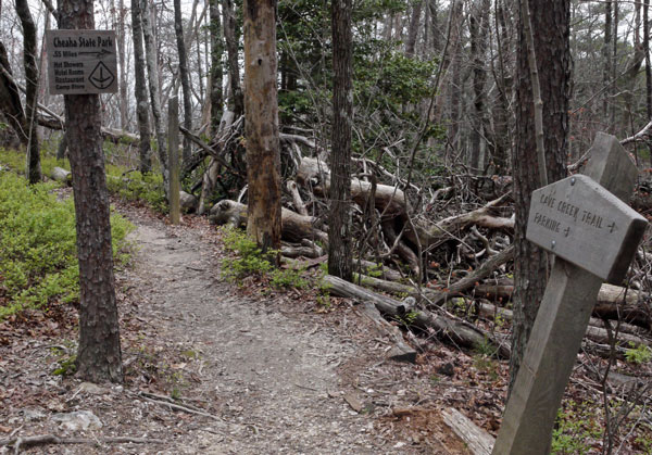 Signs at Junction of Pinhoti & Upper Cave Creek Connector Photo taken by Dan Bedore 28 March 2020. °N, °W |
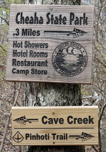 Signs at Junction of Upper Cave Creek Connector and Cave Creek Trail Photo taken by Dan Bedore 28 March 2020. °N, °W |
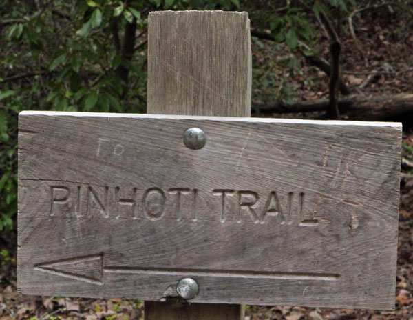 Sign at Junction of Upper Cave Creek Connector and Cave Creek Trail Photo taken by Dan Bedore 28 March 2020. °N, °W |
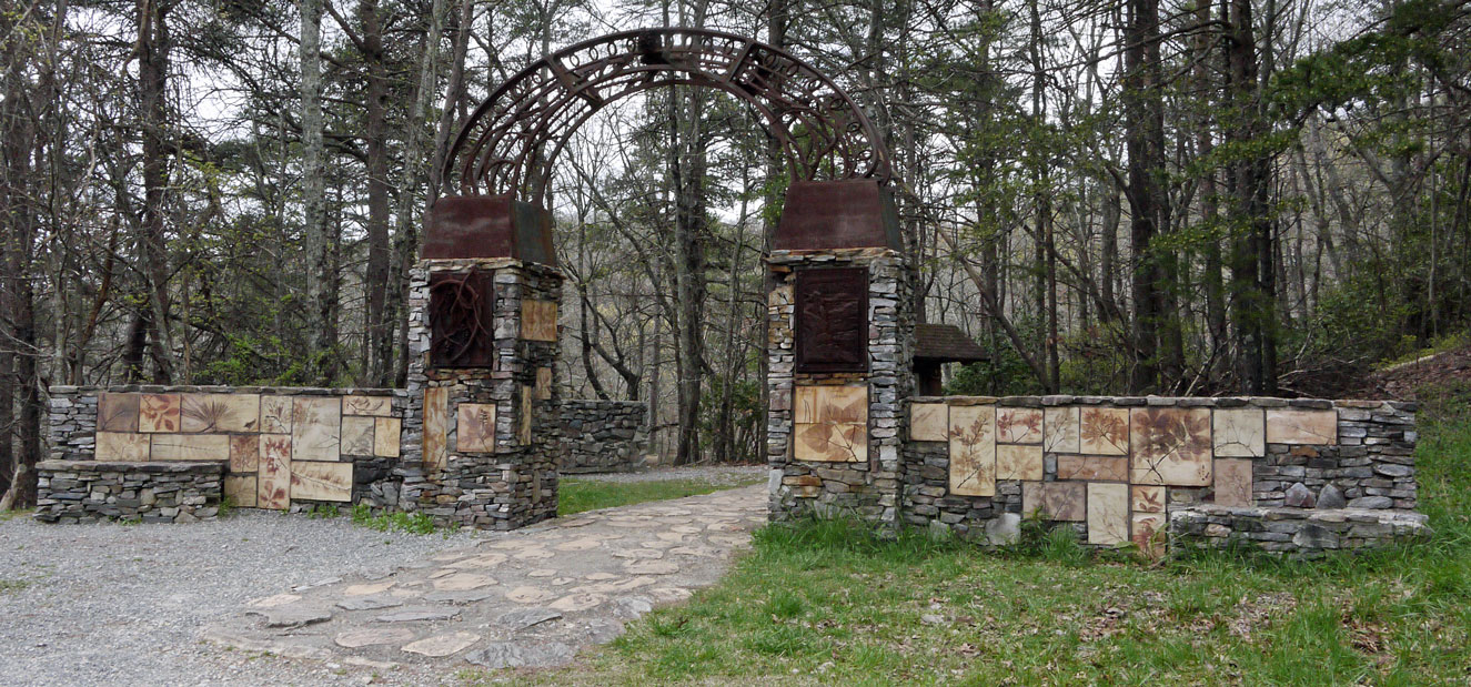 Front of Leaf Gate Photo taken by Dan Bedore 28 March 2020. 33.471051°N, -85.806740°W |
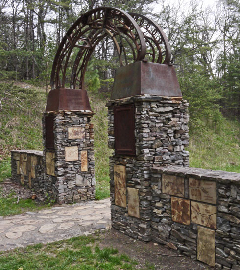 Back of Leaf Gate Photo taken by Dan Bedore 28 March 2020. 33.471051°N, -85.806740°W |
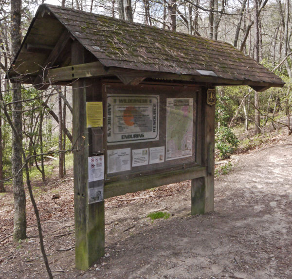 Kiosk behind Leaf Gate Photo taken by Dan Bedore 28 March 2020. 33.471051°N, -85.806740°W |
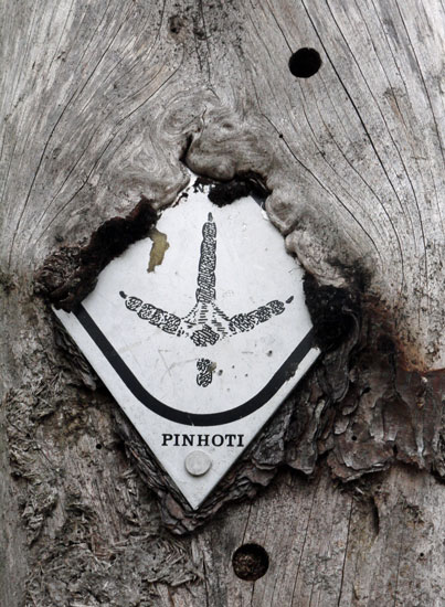 A Pinhoti Aluminum Diamond Blaze Embedded in a Tree. Photo taken by Dan Bedore 28 March 2020. °N, °W |
Pinhoti Trail Mtce., Cheaha St. Pk. section, Tue-Wed. 02/18-19/ 2014. Blue Mt Shelter s. to 0.3 mile s. of Hwy.281
On Tuesday, I worked with friend Blister Bob and we got a first hand look at what the Ice had done to the trees on top of Cheaha Mt. last Tuesday night. The devastation resembled tornado destruction. We cleared from the Kiosk at the Cheaha Parking lot (Leaf Gate) along the Cave Creek trail a few feet then up the connector to the Pinhoti Trail. From there we cleared north toward the Scenic Drive (Al Hwy 281). (By lunch we were pretty tired. Bob went home then came back and backpacked in to Blue Mt shelter for the night. I drove down the mountain and cleared 4 trees near the “Indian Shelter” north of I 20 near the “Mother's Day Tornado” damaged area then drove home.)
Photo by John Calhoun
I came back Wednesday morning and started clearing northward from the AL Hwy 281 crossing just below the Cheaha Park Store. Bob was clearing south from Blue Mt. Shelter. We never met up. I'd gotten to the sewage outlet creek and had to quit for the day. Bob finally made it to that creek too, much later.
My total time = 17.5 hrs., drive time= 5.5 hrs., distance = 270 miles, 0.3 miles of trail cleared together, 1.6 cleared by Bob alone and 0.3 cleared by me alone, (total cleared = 2.2 miles).
Photo by John Calhoun
Pinhoti Trail Mtce., Cheaha St Pk section s. of Scenic Dr. Thurs., 02/27/14.
On my way home from Augusta, GA I decided to do a short damage survey of the Adams Gap area. There appeared to be no ice storm damage in the immediate area where the Pinhoti Trail crosses the southern end of the Scenic Drive so I continued on south along FS 600 all the way to Clairmont Gap. I saw no damage along the road. I drove back to the Cheaha Trail-head below the St Pk store and noticed about 4 USFS “fire” trucks. I decided to hike in to see how much they had cleared from where Blister Bob and I had started on Feb. 18. I knocked off and trimmed small limbs then I met the crew coming out just a few minutes before 1pm. I talked to Robin W, from Borden Springs, AL. He said the other crew was clearing the Cave Creek trail and planned to go all the way to the Wilderness border. He said his team had cleared to a small camp site north of McDill Point. He also said the USFS planned to open Chinnabee Lake Picnic area on Saturday so their teams would be busy there getting that ready.
Cheaha St Park Trail Mtce., Bald Rock connector trail . Sat. 03/01/14.
I met Larry W at the Cheaha State Park store then we carefully drove and parked at the Bald Rock parking area. The boardwalk had obviously been cleared of all the large debris but definitely needed sweeping. There were a couple of places where large trees had damaged the railing too. We cleared the trail from the northern end of the boardwalk down to the Pinhoti Trail then cleared to the Blue Mt. Shelter trail where Blister Bob had cleared on Feb. 19. We also cleared one tree about a half mile north of the Bald Rock Trail junction (on the Pinhoti). On the way out, I pulled ahead of Larry and met up with Matt Y from McCalla AL who had phoned me for information about the Pinhoti Trail a few days ago! Matt & I cleared a few trees from two exit steps along the board walk then I gave him a ride back to his car at the trail-head.
Total Time = 9.5 hrs., drive time = 2.5 hrs, distance = 139 miles, 0.6 miles of trail cleared.
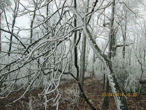
Rime Ice on Trees, Cheaha
March 4, 2014
Photo by John Calhoun
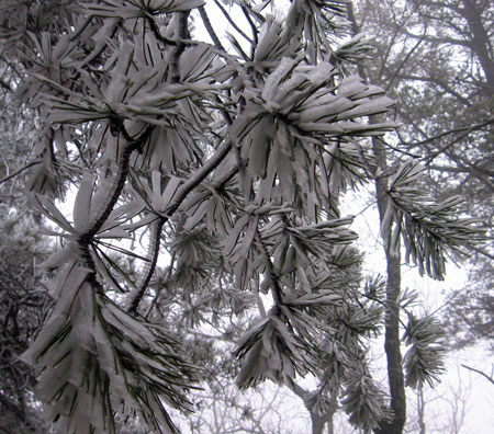
Pine, Rime Ice
Photo by John Calhoun
I decided to go back and try to finish clearing the trail to the wilderness border on Wednesday. It was just as Bryan described yesterday. Most of the work was on the east side of McDill point as the trail turns north before it heads south again and passes into the Cheaha Wilderness. I was able to finish by about 1:15pm then hike out (I didn't hike the spur trail to the lookout south of McDill but it didn't look too bad from the junction). So, the trail is virtually free of ice storm damage all the way from the Bald Rock trail to the north Wilderness border.
My total time = 25 hrs., drive time = 7.5 hrs., distance = 408 miles, about 1.9 miles of trail cleared.
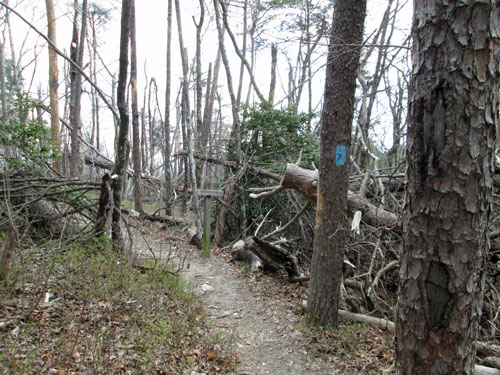
Cheaha Ice Damage
Sunday, March 20, 2016
Photo by John Calhoun
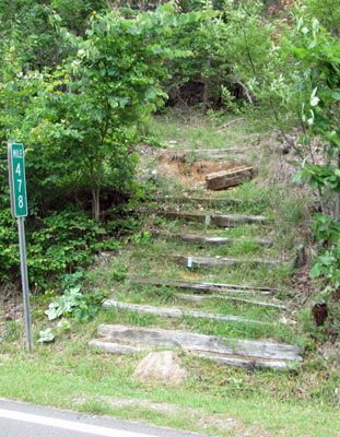
Stairs Northbound from Leaf Gate Trailhead
Cheaha State Park, Scenic Drive Mile 478
June 2017
In fall of 2018, John watched Howard fix these stairs.
Photo by John Calhoun
Pinhoti Trail Mtce., Cheaha St. Park section south of AL 281 below the park entrance.
May 25, 26, 31, & June 1-3, 2017
I used my Fiskar loppers to trim the woody growth from AL 281 crossing south to the camp site in the broad saddle north of McDill Point. I also picked up trash at the Cheaha TH and a little along the trail and old road that parallels the Pinhoti. One of the RR tie steps on the south side of AL 281 crossing (at MM 478 below the store) needs replacing. Also, there needs to be 2 more signs at the Cave Creek connector trail junction with the Pinhoti. The ice storm and drought will continue to cause hazardous trail conditions in this area. Please consider replacing the existing plastic trash cans with “critter proof” trash cans and / or recycling containers at the Cheaha trailhead. Also, on Monday, June 5th, I spent 2 hours picking up littler along the Bald Rock Board walk trail.
Total time 42 hrs., drive time 14.1 hrs., 818 miles, 1.9 miles of trail cleared. 6+ trips.