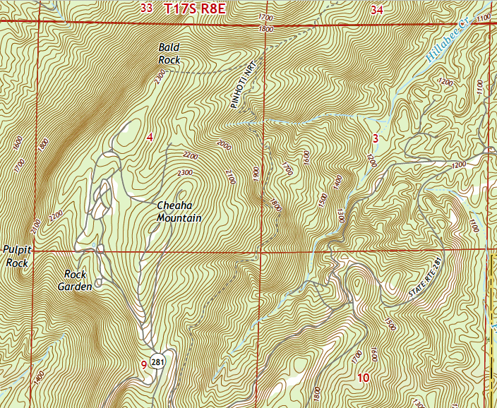
Topo Map of Blue Mountain Shelter & Cheaha SP Area
From 2018 Cheaha Mountain Quad
|
This page discusses the Blue Mountain Shelter, its spur trail from the Pinhoti, and its signage at the Pinhoti. Blue Mountain Shelter was built in 1985 by contractors. |
 Topo Map of Blue Mountain Shelter & Cheaha SP Area From 2018 Cheaha Mountain Quad |
| Blue Mountain Shelter is located to the right of the word "PINHOTI", just east of the trail. Water sources are southbound along the Pinhoti Trail. Southbound, at the bottom of this map, is the large Cave Creek Trailhead parking lot with the Leaf Gate Sculpture. Off the top of the map, the Pinhoti descends to the CCC Road and the ford of Hillabee Creek. |
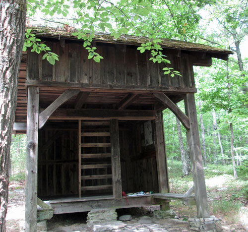
Blue Mountain Shelter
Friday, July 29, 2016
Photo by John Calhoun
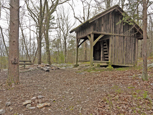 BMS from Front Right Photo taken by Dan Bedore 28 March 2020. 33.494639°N, -85.799614°W |
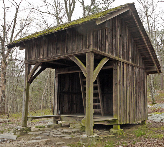 BMS from Front Right Photo taken by Dan Bedore 28 March 2020. 33.494639°N, -85.799614°W |
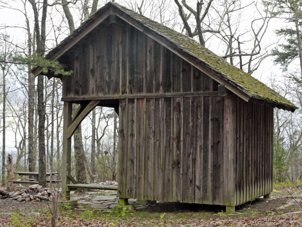 BMS from Right Back Photo taken by Dan Bedore 28 March 2020. 33.494639°N, -85.799614°W |
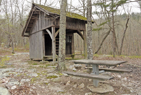 BMS from Front Left Photo taken by Dan Bedore 28 March 2020. 33.494639°N, -85.799614°W In Background, Spur Trail to Pinhoti. |
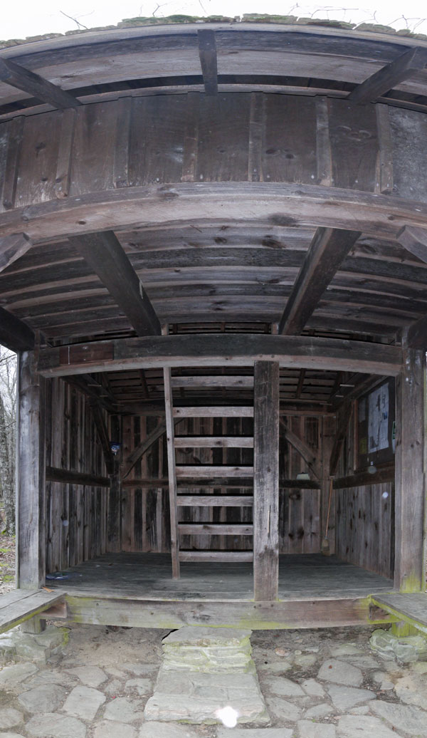 Front Interior Panorama Photo taken by Dan Bedore 28 March 2020. 33.494639°N, -85.799614°W |
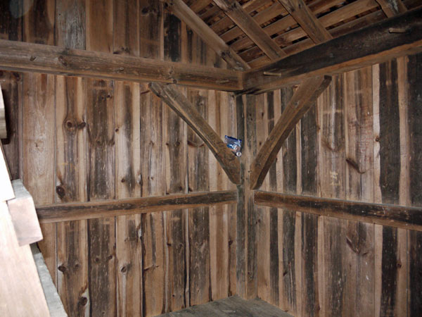 Back Left Corner Photo taken by Dan Bedore 28 March 2020. 33.494639°N, -85.799614°W |
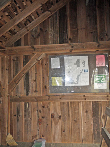 Inside Right Wall Photo taken by Dan Bedore 28 March 2020. 33.494639°N, -85.799614°W |
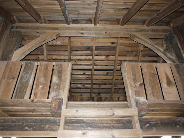 Loft from Base of Ladder Photo taken by Dan Bedore 28 March 2020. 33.494639°N, -85.799614°W |
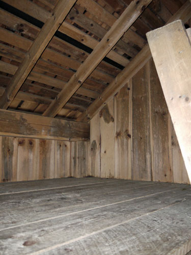 Front Left Loft Photo taken by Dan Bedore 28 March 2020. 33.494639°N, -85.799614°W |
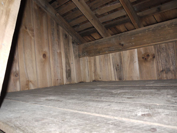 Front Right Loft Photo taken by Dan Bedore 28 March 2020. 33.494639°N, -85.799614°W |
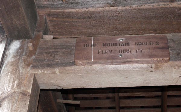 Sign: BLUE MOUNTAIN SHELTER ELEV. 1825 FT. Photo taken by Dan Bedore 28 March 2020. 33.494639°N, -85.799614°W |
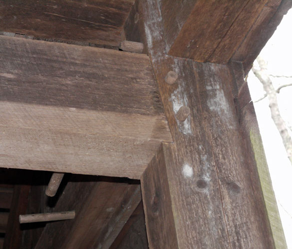 Water Leak Sign under Porch Photo taken by Dan Bedore 28 March 2020. 33.494639°N, -85.799614°W |
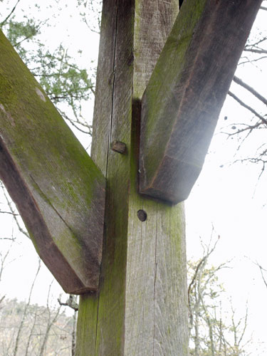 Diagonal Brace Detail Photo taken by Dan Bedore 28 March 2020. 33.494639°N, -85.799614°W |
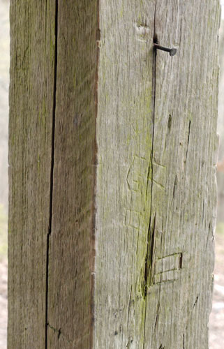 Nail & Carved Graffiti Vandalism Photo taken by Dan Bedore 28 March 2020. 33.494639°N, -85.799614°W |
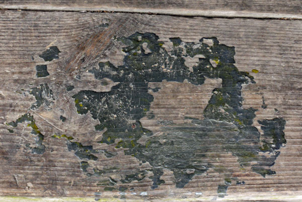 Melted Polymer from Careless Stove Use Photo taken by Dan Bedore 28 March 2020. 33.494639°N, -85.799614°W |
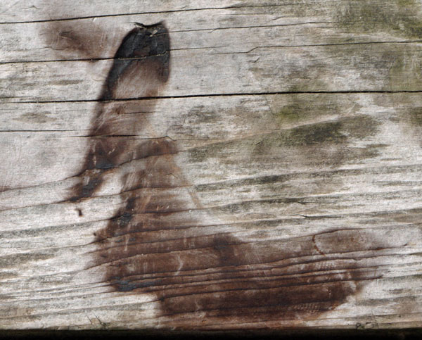 Char from Careless Stove Use Photo taken by Dan Bedore 28 March 2020. 33.494639°N, -85.799614°W |
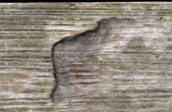 Char from Older Careless Stove Use Photo taken by Dan Bedore 28 March 2020. 33.494639°N, -85.799614°W |
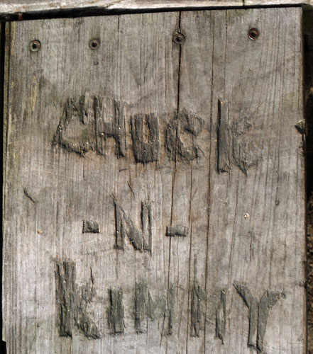 Carved Graffiti Photo taken by Dan Bedore 28 March 2020. 33.494639°N, -85.799614°W |
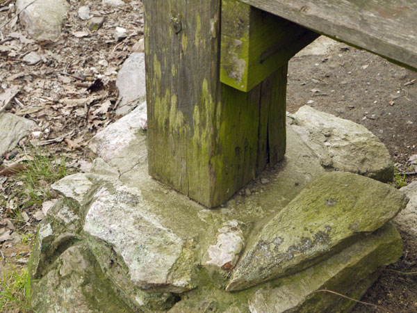 Water Damage at Footing Photo taken by Dan Bedore 28 March 2020. 33.494639°N, -85.799614°W |
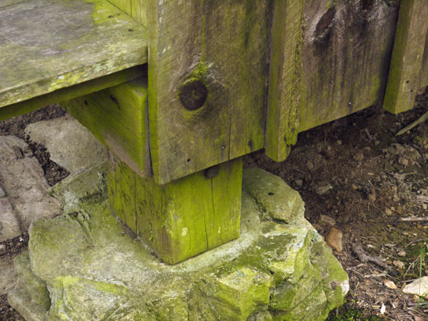 Water Damage at Footing Photo taken by Dan Bedore 28 March 2020. 33.494639°N, -85.799614°W |
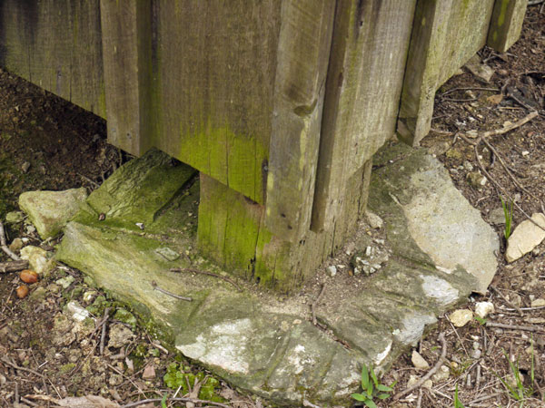 Water Damage at Footing Photo taken by Dan Bedore 28 March 2020. 33.494639°N, -85.799614°W |
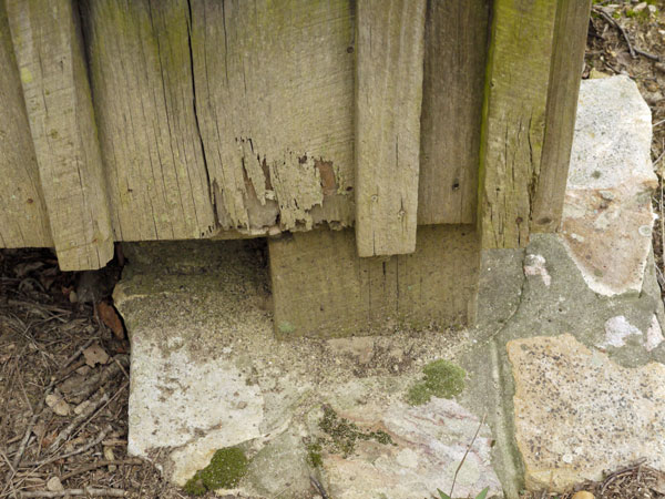 Water Damage at Footing Photo taken by Dan Bedore 28 March 2020. 33.494639°N, -85.799614°W |
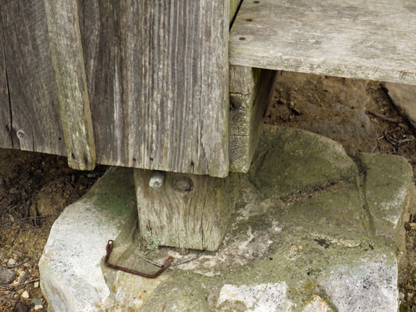 Water Damage at Footing Photo taken by Dan Bedore 28 March 2020. 33.494639°N, -85.799614°W |
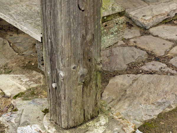 Water Damage at Footing Photo taken by Dan Bedore 28 March 2020. 33.494639°N, -85.799614°W |
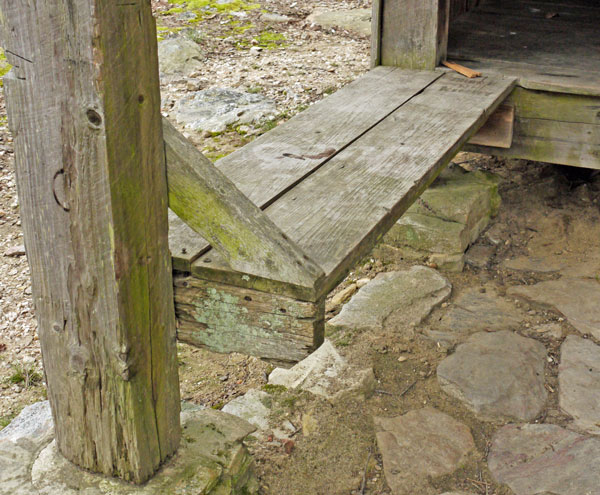 Damage to Front Left Bench: Water, Burn, Graffiti Photo taken by Dan Bedore 28 March 2020. 33.494639°N, -85.799614°W |
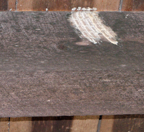 Mud Wasp Tunnels Photo taken by Dan Bedore 28 March 2020. 33.494639°N, -85.799614°W |
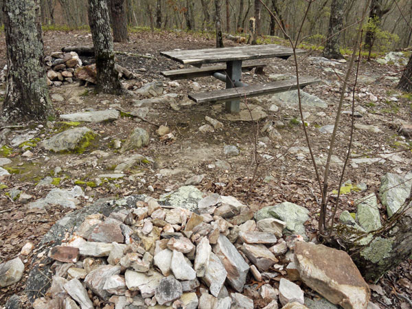 Table, Fire Ring Photo taken by Dan Bedore 28 March 2020. 33.494639°N, -85.799614°W |
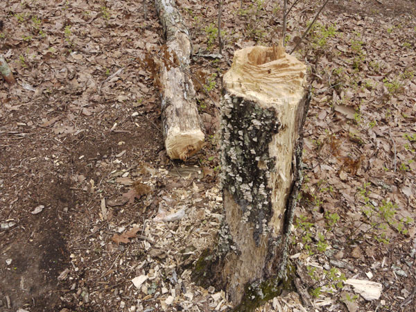 One of Many Chopped Trees near BMS Photo taken by Dan Bedore 28 March 2020. 33.494639°N, -85.799614°W |
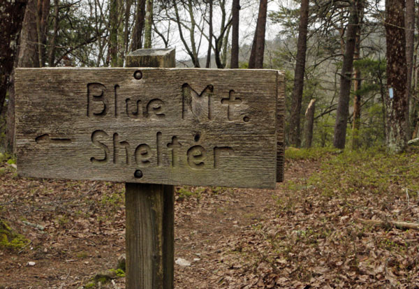 Sign on Pinhoti: ← Blue Mt. Shelter Photo taken by Dan Bedore 28 March 2020. 33.494639°N, -85.799614°W |