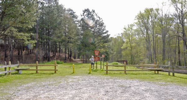
FR500 Railroad Trailhead Facing East. Heflin Spur West Terminus.
Photo taken by Dan Bedore 29 March 2020.
33.648894°N, -85.631047°W
|
This page discusses facilities located from the FR500 Railroad Trailhead to Heflin on the Heflin Spur. |
 FR500 Railroad Trailhead Facing East. Heflin Spur West Terminus. Photo taken by Dan Bedore 29 March 2020. 33.648894°N, -85.631047°W |
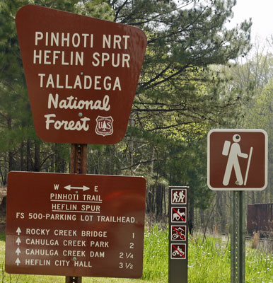 FR500 Railroad Trailhead Heflin Spur Sign Photo taken by Dan Bedore 27 March 2020. 33.648894°N, -85.631047°W |
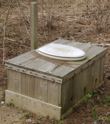 FR500 Railroad Trailhead Toilet Photo taken by Dan Bedore 29 March 2020. |
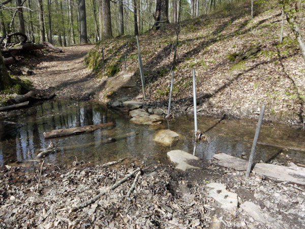 Stepping Stone Ford Photo taken by Dan Bedore 29 March 2020. 33.648948°N, -85.622730°W |
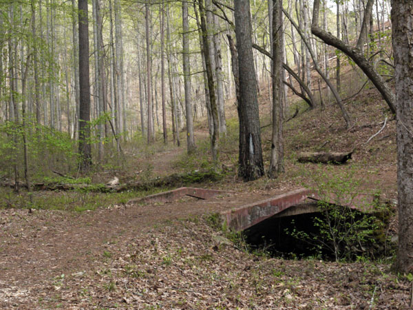 Concrete Bridge, Y to Dam, Yellow & Red Trails Photo taken by Dan Bedore 29 March 2020. 33.651383°N, -85.619640°W |
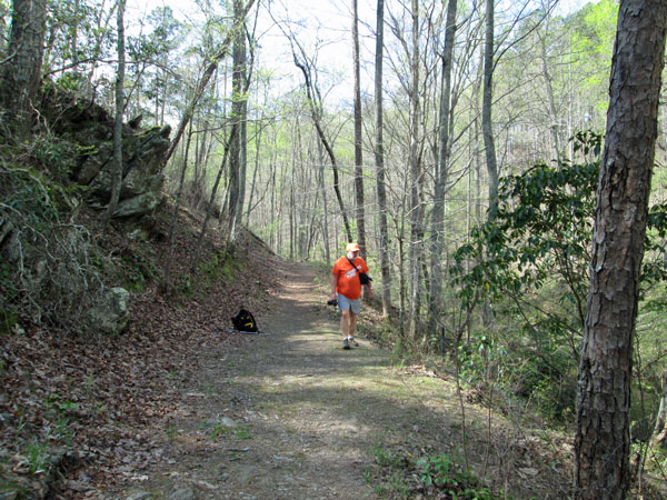 Dan Bedore by Old Hydroelectric Footings. Photo taken by John Calhoun 29 March 2020. °N, °W |
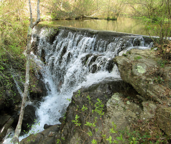 Old Hydroelectric Dam. Photo taken by John Calhoun 29 March 2020. °N, °W |
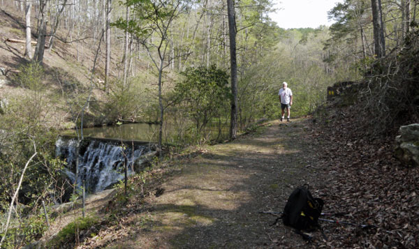 Old Hydroelectric Dam Photo taken by Dan Bedore 29 March 2020. 33.653352°N, -85.620189°W |
|
A half hour of web surfing yielded only two dam references! Quotes below.
ELECTRICAL WORLD 8 December 1923 Page 1201
MANUFACTURERS RECORD 29 November 1923 Page 86 |
33.656495°N, -85.615736°W, Road T Turn
33.653377°N, -85.613120°W, Road Y Turn
33.653882°N, -85.610208°W, Road Y Turn
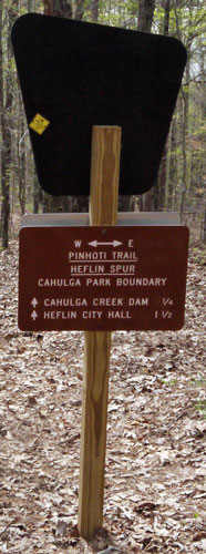 Cahulga Park - USFS Boundary Photo taken by Dan Bedore 29 March 2020. 33.652405°N, -85.608022°W |
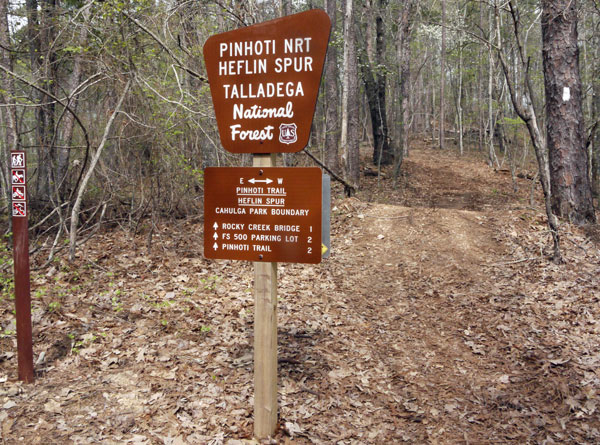 Cahulga Park - USFS Boundary Photo taken by Dan Bedore 29 March 2020. 33.652405°N, -85.608022°W |
 Telemetry Tower Photo taken by Dan Bedore 29 March 2020. 33.651229°N, -85.607004°W Label: CPI Technologies, Inc. Government Telemetry Equipment Un-Authorized tampering with this equipment is a violation of Federal Law. |
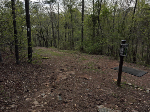 Y at Golf Tee 8 Photo taken by Dan Bedore 29 March 2020. 33.650762°N, -85.606876°W |
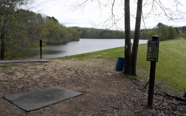 Turn at Golf Tee 9 onto Dam Photo taken by Dan Bedore 29 March 2020. 33.651340°N, -85.605328°W |
 180°+ Panorama on Calhulga Dam Photos taken by Dan Bedore 29 March 2020. |
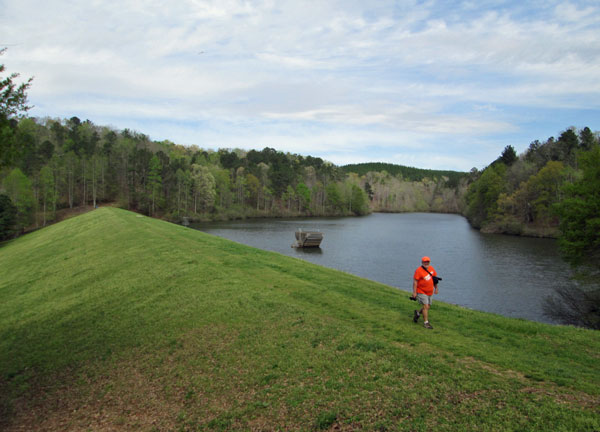 Lake Cahulga Dam Photo taken by John Calhoun 29 March 2020. °N, °W |
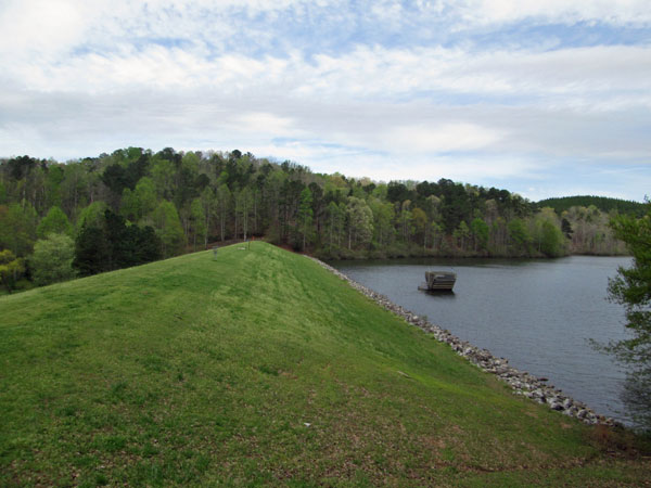 Lake Cahulga Dam Photo taken by John Calhoun 29 March 2020. °N, °W |
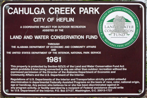 Sign Photo taken by Dan Bedore 29 March 2020. |
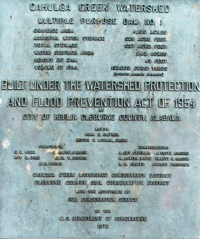 Plaque Photo taken by Dan Bedore 29 March 2020. |
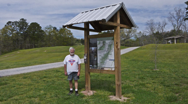 Cahulga Kiosk for Heflin Spur & Pinhoti Photo taken by Dan Bedore 29 March 2020. |
|
Some quotes from various Cahulga Park Kiosks: Cahulga Creek Watershed Park is on 84 acres adjacent to the Talladega National Forest. Favilities: Fishing Pier, ramp for non-gas-motorized boating, fishing by city permit. Passport to fitness trail up past the lake into the Talladega National Forest, restrooms, picnic pavilion. Heflin established 1866. Alabama Birding Trails Site The "waterfall" was part of the first power plant that generated power for the city of Helflin until Alabama Power arrived in 1926. The Heflin Spur is on about ¾ miles of the Heflin to Oxford Road used prior to the construction of Highway US78 in the 1930s. This section also parallels Norfolk Southern Tracks carrying many freight and two AMTRAK trains daily. Golf Course Name Lake Point Disc Golf |
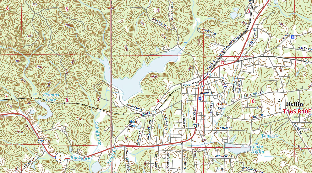 2018 Heflin 7½' Quad |
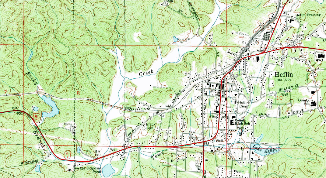 1967 Heflin 7½' Quad |
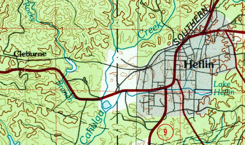 1981 Anniston 30x60 Quad |
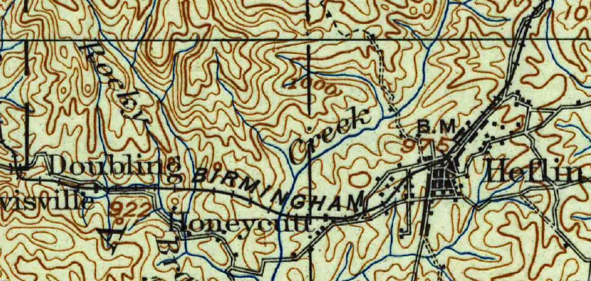 1900 Anniston 30' Quad |