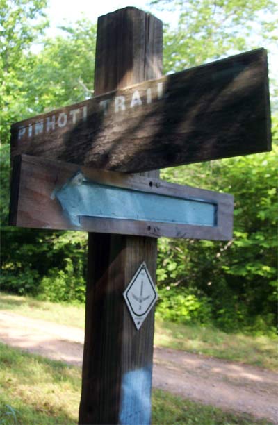
Intersection with the Chief Ladiga Trail, circa 2007
Photo by Dan Bedore
|
This page discusses the Chief Ladiga Trail.
33.912725°N, -85.503684°W: Chief Ladiga Campground Gate |

Intersection with the Chief Ladiga Trail, circa 2007
Photo by Dan Bedore
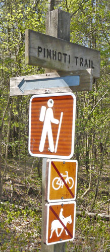 South / West Junction |
 West |
 East |
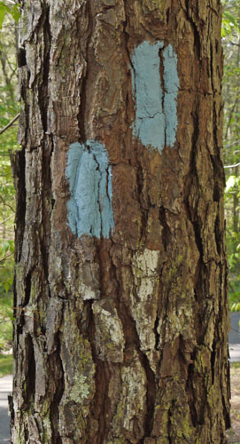 East / North |
| Photos taken by Dan Bedore 2 April 2020. | |||
|---|---|---|---|
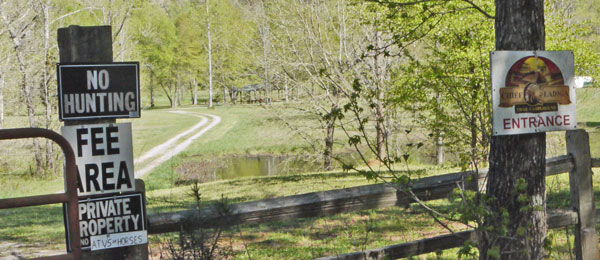 Chief Ladiga Campground Gate Photo taken by Dan Bedore 2 April 2020. 33.912725°N, -85.503684°W A couple minutes west of the south / west junction of the Pinhoti & Chief Ladiga Trails. |
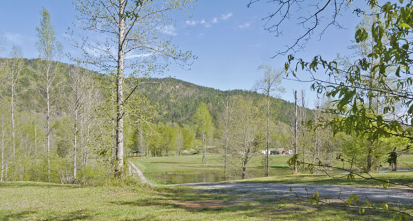 Grassy Chief Ladiga Campground Photo taken by Dan Bedore 2 April 2020. 33.915570°N, -85.503717°W The buildings at right are the campground offices. |
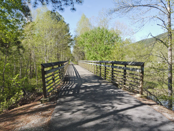 Chief Ladiga / Terrapin Creek Bridge from East Photo taken by Dan Bedore 2 April 2020. 33.915035°N, -85.500564°W |
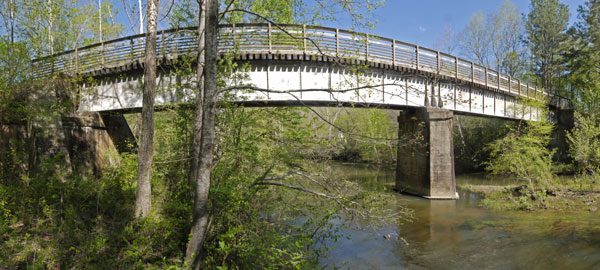 Chief Ladiga / Terrapin Creek Bridge from South Photo taken by Dan Bedore 2 April 2020. 33.915035°N, -85.500564°W |
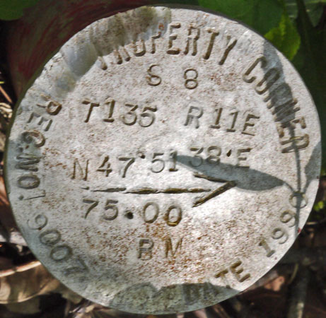
|

|
|
Photo taken by Dan Bedore 2 April 2020. South west of bridge. | |
|---|---|
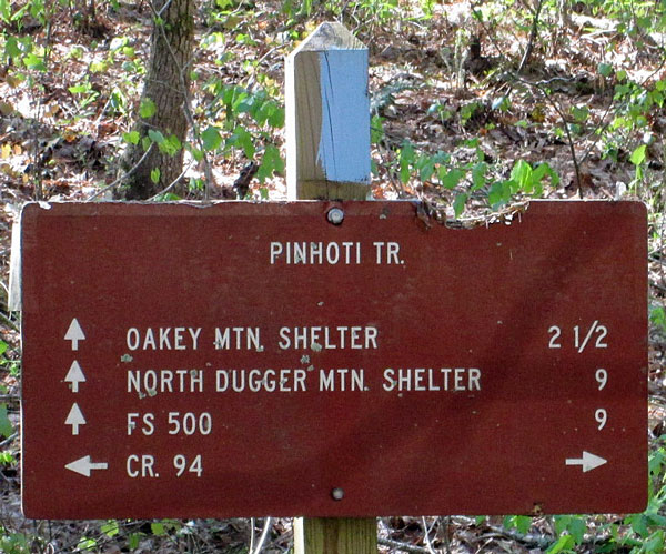 SOBO Mileage sign at CR94 Photo taken by John Calhoun 2 April 2020. °N, °W |
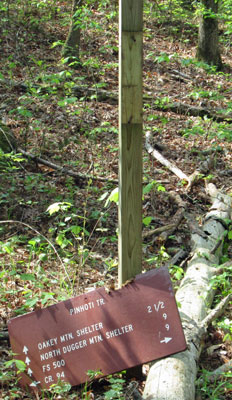
Sign Down Near Paved Chief Ladiga Rail Trail
June 2017
Photo by John Calhoun