
Sign at South Bypass Junction
Photo taken by Dan Bedore 7 April 2020.
°N, °W
|
This page discusses the US278 Highpoint Trailhead and Bypass Route. |
33.978783, -85.480634 Highpoint 278 TH
 Sign at South Bypass Junction Photo taken by Dan Bedore 7 April 2020. °N, °W |
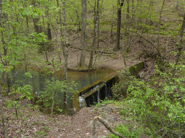 Dam in Lanie Creek Photo taken by Dan Bedore 7 April 2020. °N, °W |
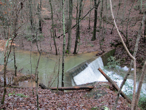
Lanie Creek Dam
Very High Stream Flow
Saturday, December 26, 2015
Photo by John Calhoun
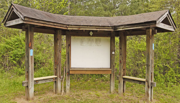 Triple Kiosk at US278 Highpoint Trailhead Photo taken by Dan Bedore 7 April 2020. 33.978783°N, -85.480634°W |
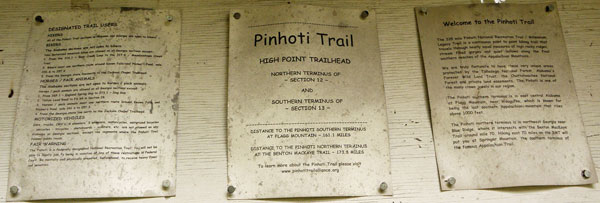 Notices Photo taken by Dan Bedore 7 April 2020. 33.978783°N, -85.480634°W |
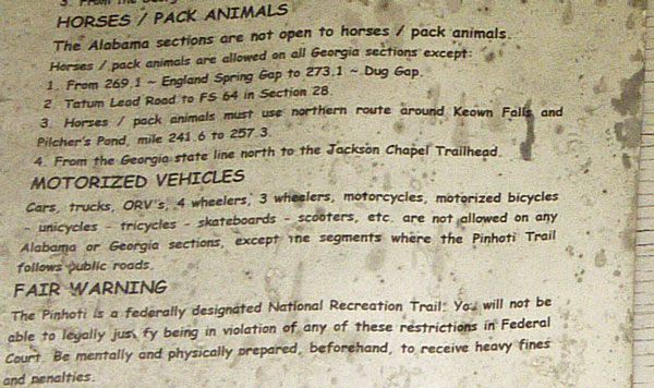 Mildew and Dust on paper notices. Photo taken by Dan Bedore 7 April 2020. 33.978783°N, -85.480634°W |
| Nothing on these notices is entices people to walk on the Pinhoti, or informs them. Maps, lists of miles to interesting places, or photos might be inviting. |
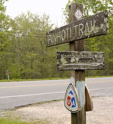 Roadwalk Sign at US278 Highpoint Trailhead Photo taken by Dan Bedore 7 April 2020. °N, °W |
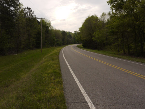 Blind Curve on US278 Photo taken by Dan Bedore 7 April 2020. |
| A hiker walks to the left of the highway, either adjacent to fast traffic, or in grass which is often tall and in wet, mushy soil. The Bypass is a dirt road which avoids almost all walking along the highway. |
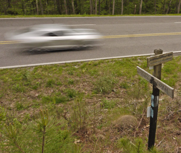 Sign at the northbound / east end of the US278 roadwalk. Photo taken by Dan Bedore 7 April 2020. °N, °W |
| The gated dirt road / Traffic Bypass Route comes out of the woods just left / east of this picture, nearly across the road from the Pinhoti here. |