Home and Pinhoti Mile by Mile

Hurricane Creek Bridge

This page discusses the Hurricane Creek Bridge.


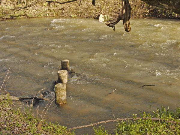
First Hurricane Creek Crossing
Photo taken by Dan Bedore 26 March 2020.
°N, °W

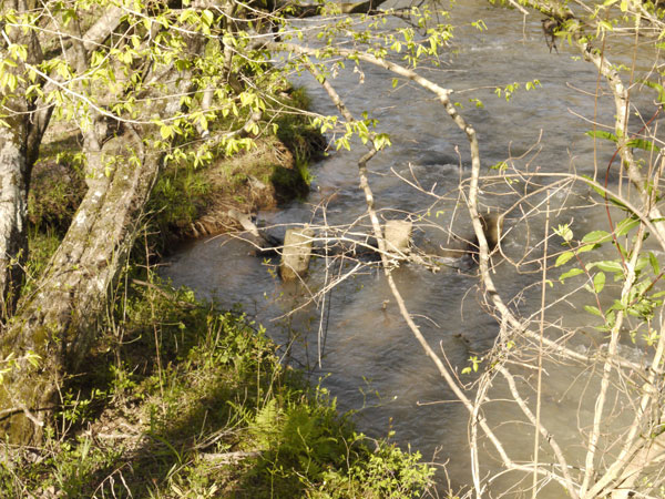
The first Hurricane Creek Crossing was these concrete cylinders placed vertically as stepping platforms across the creek. You can see the creek banks widened on the near and far side of the creek. The three remaining cylinders have caught sticks; Between the cylinders and the sticks, flow is restricted, and backs up. In flood conditions, this makes crossing more difficult and contributes to erosion.

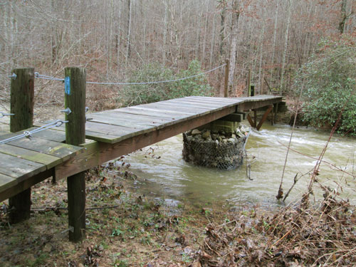
The Alabama Trail Association built this bridge in 2001 over several work days; John Calhoun helped on some days.

Erosion notch in the north bank.
Photo taken by Dan Bedore 26 March 2020.
°N, °W

First Hurricane Creek Crossing.
Photo taken by Dan Bedore 26 March 2020.
°N, °W
From current bridge upstream / east. Three posts at lower left.

Concrete Posts
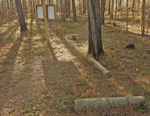
Many concrete posts are scattered about the woods nearby.
Photo taken by Dan Bedore 26 March 2020.
°N, °W

Current Hurricane Creek Bridge
Photo taken by Dan Bedore 26 March 2020.
°N, °W
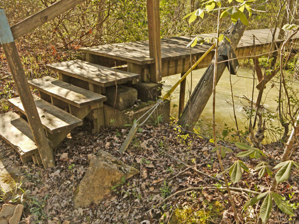
Note Rubble Pier and Diagonal Brace.

Uprooted Suspension Bridge Anchor
Photo taken by Dan Bedore 26 March 2020.
°N, °W
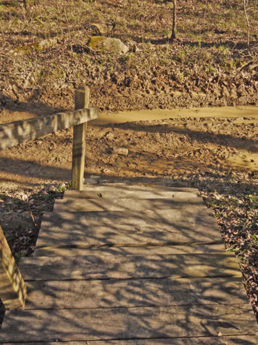
The second version of the Hurricane Creek Bridge was a Suspension Bridge. Note the anchor here was not in line with the tension loads in the suspension cables, and this anchor was torqued out of the ground. Also, this anchor could not be moved to the left of this picture, further from the creek, and allowing better geometry for the cables, because there is a muddy, busy dirt road just to the left. Every second year engineering student who saw the bridge before its failure should have predicted this suspension bridge would fail in this manner.

Muddy road just south of the bridge.
Photo taken by Dan Bedore 26 March 2020.
°N, °W

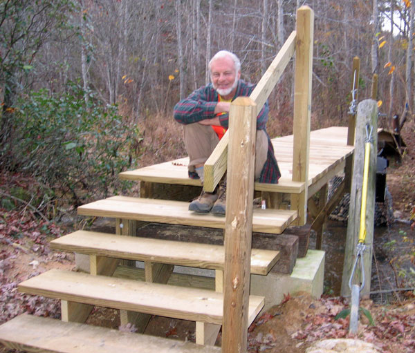
3rd Hurricane Creek Bridge
Photo taken by John Calhoun 21 November 2009.
°N, °W

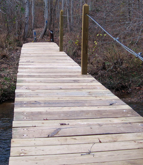
3rd Hurricane Creek Bridge
Photo taken by John Calhoun 21 November 2009.
°N, °W

Hurricane Creek Bridge at Flood Stage
Saturday, December 26, 2015
The above photo is of the third Hurricane Creek Bridge. The first was a simple rock hop. The second was a suspension bridge. On the south side, there was not enough space from the trail to a dirt road, so the guy lines were short. A flood pushed the suspension bridge to lean downstream and become structurally deficient and unusable.

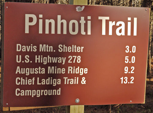
Southbound Mileage Sign south of Salem Church Road
Photo taken by Dan Bedore 26 March 2020.
°N, °W

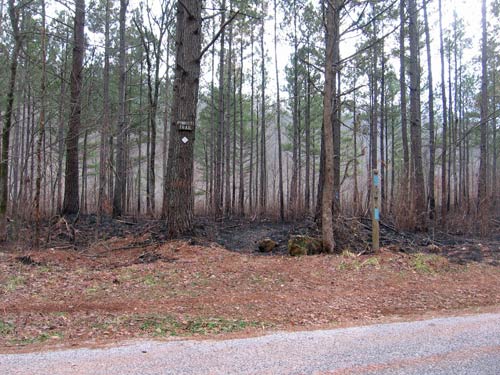
Salem Church Road Looking South
January 2013
Photo by John Calhoun

Pinhoti Trail Mtce., ATA section. Tue. 01/29/13. Hunt Club Rd to 1700 Ft. Overlook
I decided to park near the Salem Church and take a short cut up the Hunt Club Trail to where I'd cleared on Jan. 8. It is a long steep climb up to the trail but very scenic as one comes close to the trail crossing. I used my loppers to thoroughly clear the trail all the way to the 1700' Look-out. After a late lunch I walked in to see the progress on the new shelter. WOW. They got all the siding up. It looks great. I still have to clear about 2.8 miles of trail between the overlook and Spring Creek Shelter.
Total time = 10.25 hrs., drive time = 3.5 hrs., 187 miles., 1.3 miles of trail cleared.
John

Home and Pinhoti Mile by Mile